BLACKPITTS AREA OF DUBLIN - NEW ROW SOUTH
NEW ROW SOUTH IN DUBLIN 8 [I THOUGHT THAT THE NAME WAS NEW ROW STREET]
New Row South as we know it today was laid out in 1756.
At the end of New Row South on Francis Street, the Franciscans had a Friary from 1233 until 1541 when the lands transferred to W. Brabazon, the Earl of Meath.
When medieval Dublin expanded beyond its walls, suburban, monastic and industrial development grew along the major thoroughfares. Three gateways were built outside the city walls, along the Coombe, to aid defence and the regulation of traffic and commerce. An area of high ground by the Coombe (derived from com or ‘valley’) extended from what is now Ardee Street to New Row, south to Mill Street and was bordered by the Commons Water, the Abbey Stream and the River Poddle. This area eventually became the site of Weavers’ Square, Newmarket and St Luke’s Church. Prior to this development, the site served as farmland, part of a hinterland which helped to feed Dublin’s inhabitants.
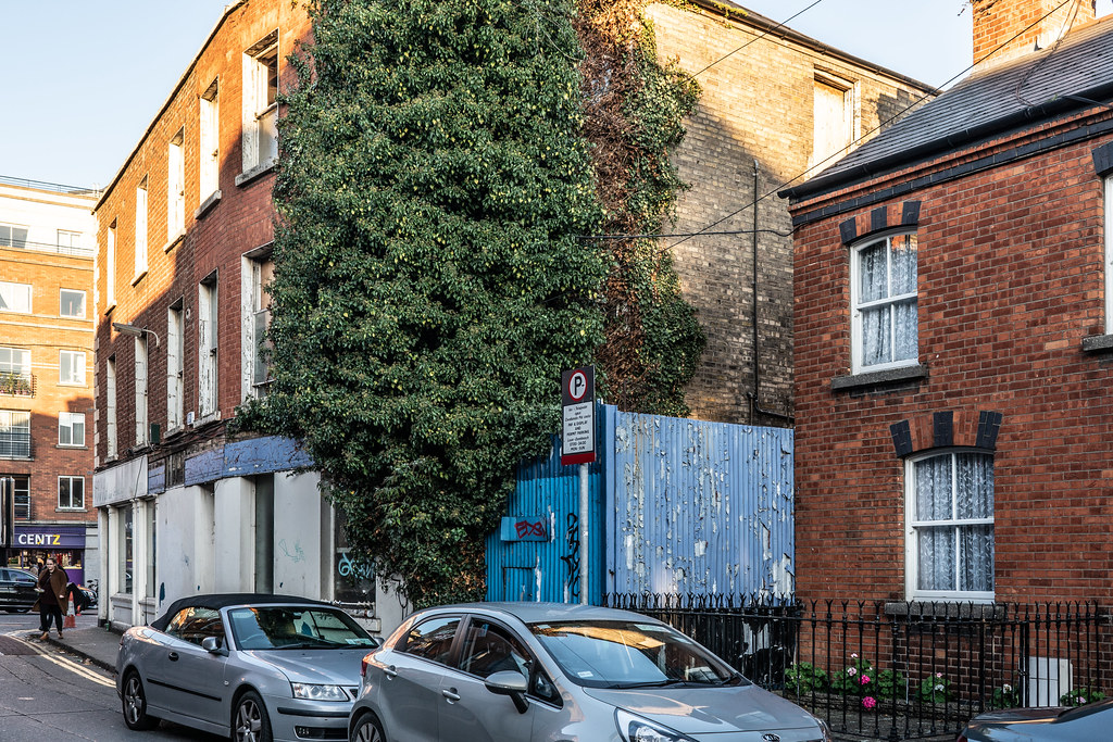
BLACKPITTS AREA OF DUBLIN - NEW ROW SOUTH 001
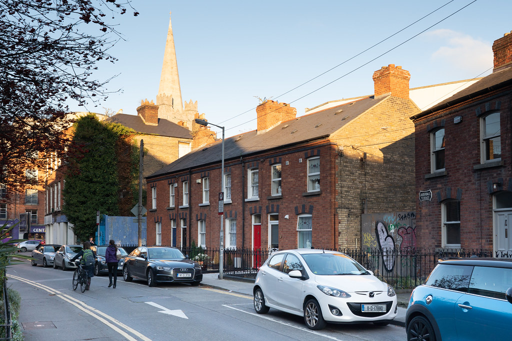
BLACKPITTS AREA OF DUBLIN - NEW ROW SOUTH 002
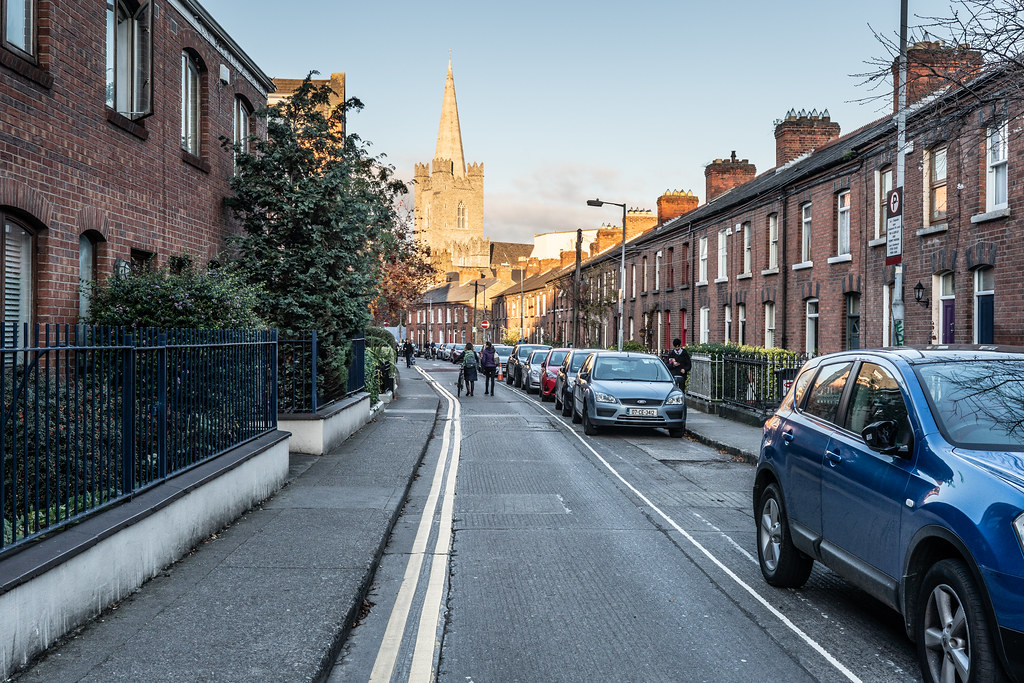
BLACKPITTS AREA OF DUBLIN - NEW ROW SOUTH 003